Our Services
Geoscience consulting tailored to your project needs
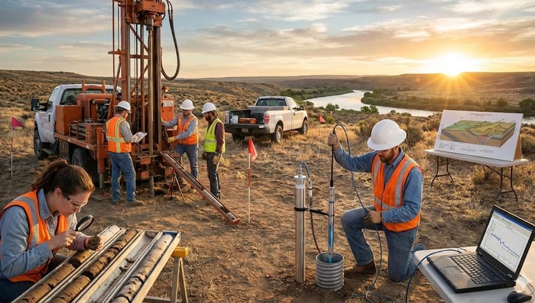
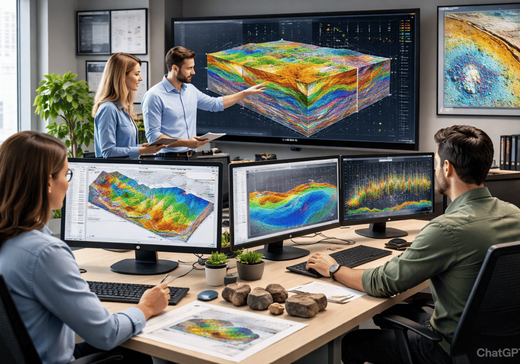
Quantitative Hydrogeology
Groundwater Flow Modelling, Contaminant Transport Modeling including PFAS and VOCs, Field Test Analysis, 3D Geologic Modelling, etc.
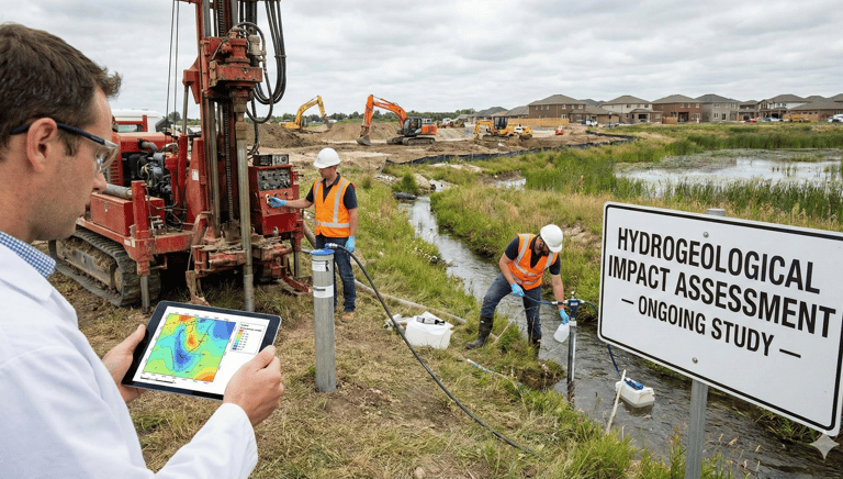
Hydrogeological Impact Assessments
Assessment of Impacts on Local Hydrogeology and Technical Reporting.
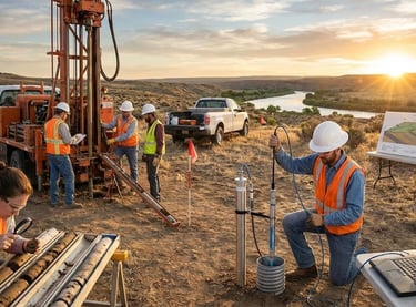
Physical Hydrogeology
Subsurface Investigation, Monitoring Well Installation, Synoptic and Diurnal Groundwater Elevations Monitoring, Groundwater Quality Monitoring, Aquifer Hydraulic Testing, etc.
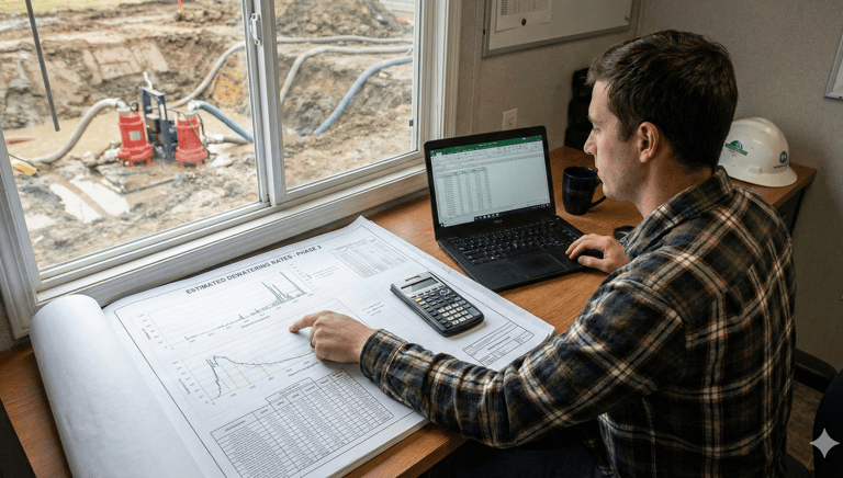
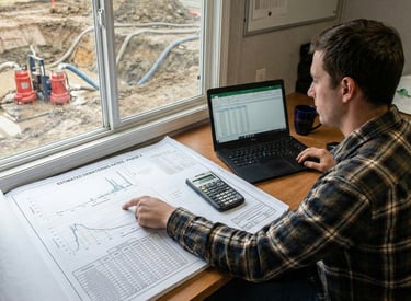
Dewatering Assessments
Assessment of Construction Dewatering including Rates Estimations, Discharge Plans, Groundwater Monitoring Plans, etc.
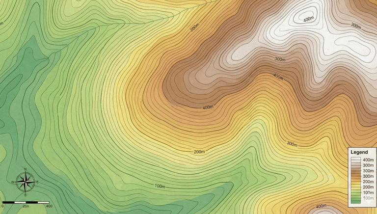
Aerial Surveys
High-resolution LiDAR survey for better topographic mapping. Reliable 3-Dimensional measurements and models of buildings, properties, towers, or any other physical object.
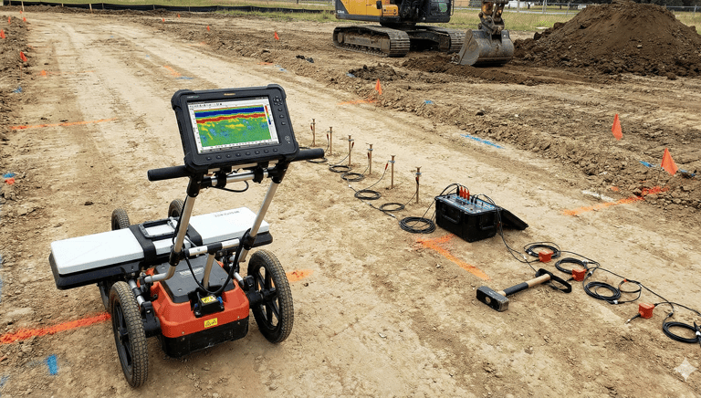
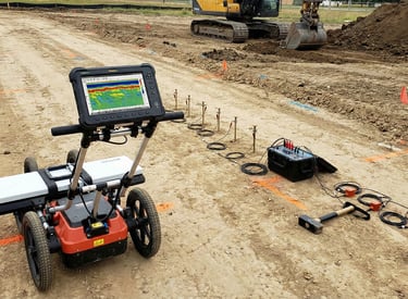
Subsurface Geophysical Surveys
Detailed geophysical surveys using advanced geophysical techniques.
Our Work
Precision surveys capturing land and subsurface details.


Aerial Photos
High-resolution images from above for detailed analysis.


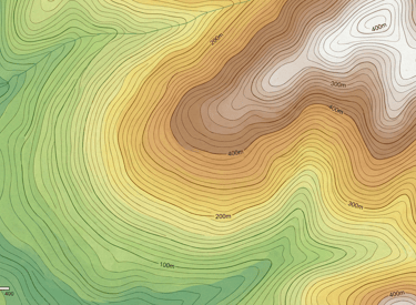
Lidar Scan
3D terrain mapping with laser precision.


Utility Maps
Locating underground utilities with accuracy.
GIS Mapping
Transforming data into clear, actionable maps.
→
→
→
→

Focus
High quality, practicable, and defensible consulting tailored to your project needs